Milne Land
Geography
The area covered by Minerals Exploration Licence No. 2011/53 is situated in the eastern part of the island of Milne Land, in the central area of East Greenland.
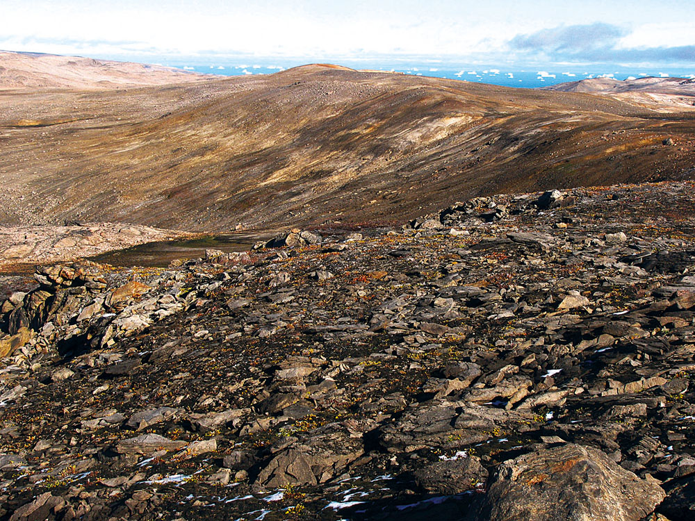
The area covered by this licence is almost completely exposed (with no permanent snow cover nor any glaciation). The morphology of the area is moderately rugged, with a predominant altitude range of from 0 to 900 m asl.
The area covered by the licence has good communication accessibility via helicopter transport from Constable Point Air Base. Its flying distance from this air base is approx. 110 km (i.e. a 40-minute flight).
Geology
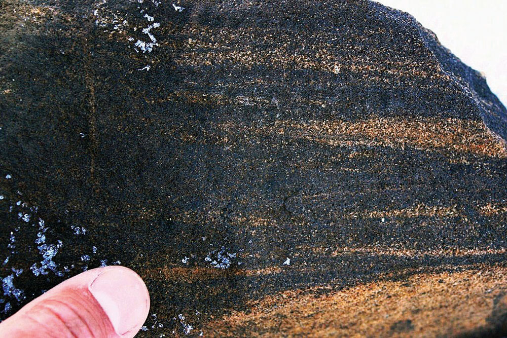
In terms of its geology the area covered by Minerals Exploration Licence No. 2011/53 is composed of Mesozoic, mainly marine sediments developed on Caledonian crystalline complex.
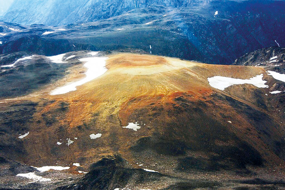
In regard to there being a deposit there are significant basal Jurassic shallow-sea sediments that outcrop within the Charcot Bugt formation, to which occurrences of fossil heavy beach sand or of Zr-REE-Ti ores are bound.
Degree of Exploration
1960’s – 1980’s: Exploration works carried out by Nordisk Mineselskab A/S (Nordmine) including a radiometric survey, geochemical heavy minerals prospecting and sampling and drilling works.
Results: Delimitation of the source of Zr-REE-Ti ores in the area of Point 800 and in the radiometrically and geochemically anomalous areas.
1990’s: The exploration works carried out by Coffs Harbour Rutile N.L. & Nunaoil A/S focused on the collection of bulk samples and on metallurgical testing of the raw material.
Results: Verification of the possibility of the acquisition of high-content ore concentrates of REE and Zr using gravitational, electromagnetic and electrostatic separation. Failure to acquire ore concentrates of Ti-minerals.
2011: Granting of a Minerals Exploration Licence to CGRG Ltd. Exploration works including geological mapping, field radiometry and sampling.
Results: Specification of a series of circumstantial indications of the presence of Zr-REE-Ti ores; the most significant found in the area of Seegrube.
2013: Extending the Minerals Exploration Licence for CGRG Ltd. to the areas of Point 800 and Bays Fjelde – Geigendal.
Deposit Potential
The demarcation of Zr-REE-Ti ores in the area of Point 800 and the expected parameters: cca. 4 million tons of raw materials with the following metal content: 0.6 to 1.2 wt.% of REO, 1-2 wt.% of ZrO2, 3-6 wt.% of TiO2.
Prospect of a substantial increase in reserves of Zr-REE-Ti ores in the radiometrically anomalous areas of Bays Fjelde - Geigendal and Seegrube where there are documented occurrences of Zr-REE-Ti ores.
A verified possibility of the acquisition of high-content ore concentrates of REE and Zr by means of gravitational, electromagnetic and electrostatic separation.
(A significant advantage in comparison with sources of REE ores bound to peralkaline intrusions and carbonatites, from which the extraction of ore concentrates is very limited. While the chemical extraction of REE ores is more expensive by an order of magnitude than the actual mining).
Summary: Significant deposit potential for the demarcation of economically important resources of Zr-REE-Ti ores.
Design of the Exploration Works
Detailed geological mapping, sampling and radiometric and geochemical prospecting (gamma-spectrometry, XRF-spectrometry) in terms of the deposit, in the prospective areas of Point 800, Bays Fjeld - Geigendal and Seegrube.
Drilling works comprising approx. 1000 m of core boreholes in the area of Point 800 and in the most significant radiometric and geochemical anomalies identified.
Goals set:
- Refining the parameters of the source of Zr-REE-Ti ores in the area of Point 800,
- A maximum increase in the definition of reserves of Zr-REE-Ti ores in the area,
- Resolving the method of treatment of Zr-REE-Ti ores.